Loch an Nid to Glen Douchary

I have my best sleeps when wild camping and last night was no different. I had a lovely sleep and woke up ready to continue along the trail.

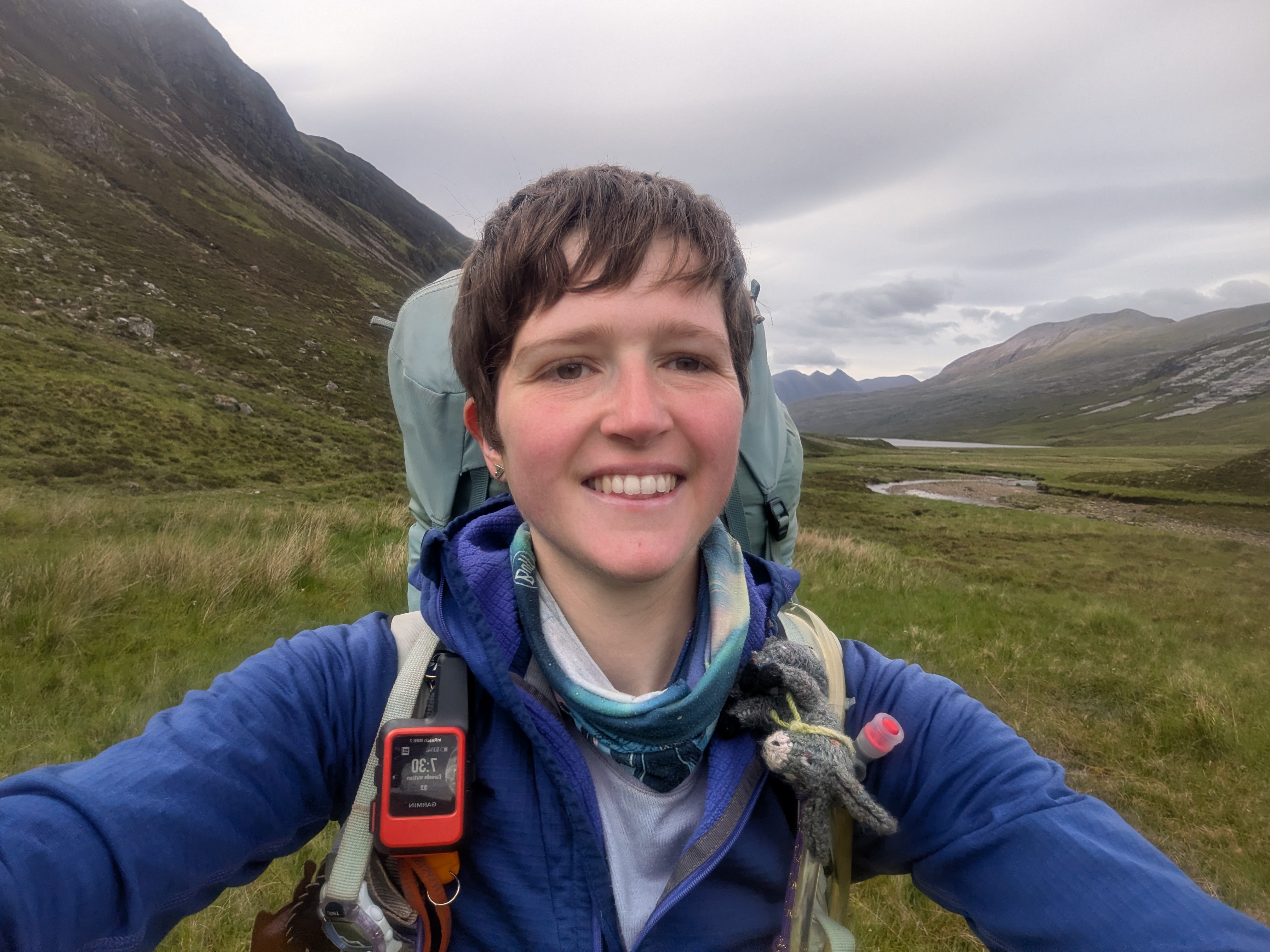
I started by following the path, past Loch an Nid and along Abhainn Loch an Nid. The hills swept in from either side and it was spectacular.

Along the way, I spotted Butterwort that was on flower. Butterwort is an insectivorous plant. Insects get stuck to its bright green leaves and then get eaten by the plant. The little purple flowers that popped out of their centres were beautiful.


The path eventually met a track, and I climbed up hill and over to Corrie Hallie. The views from the top of the pass were amazing. I could see the mountains around me, and down the glen towards Loch na Sealga.
Along the track, I met a chap, who was on his way to climb the nearby Corbett. He said he’d done the Munros but not bagged the Corbett as he didn’t think he would complete them. Then he finished the Munros and decided to complete the Corbetts and now had to come back to tick this one off!

At Corrie Hallie, I took the path up through the woodland. It was narrow and winding, but lovely to be amongst the green trees. When I started there were very few leaves, even down in Cornwall and now everything is so luscious and green. I’ve loved experiencing the slowly changing seasons as I’ve walked up the country.


The path soon opened up to give amazing views. The views back to An Teallach ridge were incredible.

At the top, I reached Loch an Tiompain, before dropping down to Inverlael. In my planning stages, I booked a night at the bunkhouse (a few kilometres down the road), however I was making good time and decided to push on a bit further.


I paused in the fields at the bottom, before zigzagging up through the woodland. I was grateful for the gentle incline as I was definitely starting to get warm by the afternoon!

I left the woodland and continued along the track. Turning around, I could still see An Teallach in the distance and admired how far I’d come!


The track changed into a grassy track, before becoming a narrow path and disappearing completely. Along the Cape Wrath Trail, I’ve been using Harvey Trail maps. These maps indicate when the path is visible (or not!), so I’d known to expect a pathless section for this part. The ground was lovely and spongey, but not too boggy and it was a nice descent down into Glen Douchary. I could see the ruins in the distance and knew where I was heading.

As I walked across, I felt so lucky to see an eagle swooping above me! It was massive in the sky and so graceful!

Nature didn’t stop there as I then spotted this beautiful dragonfly in the grass. It sat there for a good few minutes and let me take a picture of it. The reddy-orange colours looked beautiful.

I soon reached the ruins, and pitched up for the night, using the ruins as a nice wind break!
Leave a Reply